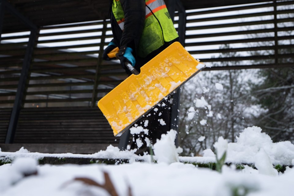
VANCOUVER — The first widespread snowfall of winter has hit Metro Vancouver, with up to 20 centimetres expected and more on the way.
Environment Canada says in a snowfall warning that "intense flurries" could cause heavy accumulation and cut visibility on roads, and while snowfalls are expected to taper Sunday afternoon, another round is developing.
The agency says the next blast of heavy snow will hit Monday morning, part of a wintry mix of conditions across the entire south coast of British Columbia over the next several days.
The heaviest snow was expected in higher elevations, but it was also piling up in low-lying areas including the City and Vancouver and Richmond.
Environment Canada says temperatures will be five to eight degrees Celsius below seasonal in Metro Vancouver next week and strong outflow winds will lead to cold wind chills.
In the north of B.C., extreme cold warnings are in place for several regions, including the Peace River area where wind chills near minus 40 are forecast for Sunday.
This report by The Canadian Press was first published Feb. 1, 2025.
The Canadian Press

