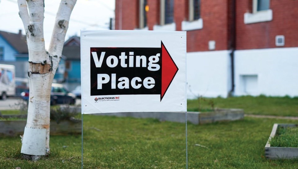
Burnaby's provincial electoral districts could look much different by the next provincial election.
The BC Electoral Boundaries Commission submitted its final report on April 3, 2023, which includes name changes for most of the Burnaby ridings as well as the creation of a fifth electoral district for the city.
Five other additional districts would appear in Langford, Langley, Surrey, Vancouver and Victoria.
The current local electoral districts are:
- Burnaby-Deer Lake
- Burnaby-Edmonds
- Burnaby-Lougheed
- Burnaby North
Under the latest report, Burnaby's ridings would be known as:
- Burnaby Centre
- Burnaby East
- Burnaby-New Westminster
- Burnaby North
- Burnaby South-Metrotown
The commission said the addition of a new electoral district in Burnaby is to address the "rapid population growth" in the city and surrounding areas.
Burnaby Centre
The riding of Burnaby Centre would include Cascade Heights, Garden Village, Deer Lake and Buckingham Heights.
The boundary runs along Boundary Road in the west and Highway 1 and Lougheed Highway in the north.
It would also follow Sperling Avenue, Lakefield Drive and Imperial Street in the east and Kingsway in the south.
Burnaby East
Included areas are Sullivan Heights, Westridge and Simon Fraser University.
The commission says the riding is bounded by Burrard Inlet in the north and Kensington Avenue in the west.
The municipal borders of the City of Burnaby form its southern and eastern boundaries.
Burnaby-New Westminster
The riding of Burnaby-New Westminster would include New West neighbourhoods of Kelvin, Eastburn, Connaught Heights and adjacent Burnaby neighbourhoods of Middlegate and Edmonds.
Boundaries follow Imperial Street in the north, Griffiths Drive in the west, Sixth Avenue in the south and McBride Boulevard, Cumberland Street and Newcombe Street in the east.
Burnaby North
Burnaby North includes Burnaby Heights, Capitol Hill, Willingdon Heights and Brentwood Park.
The commission says its northern boundary follows Burrard Inlet while its western boundary would follow the municipal border of the City of Burnaby along Boundary Road.
The eastern boundary would follow Kensington Avenue and a line extending north from Sperling Avenue to Burrard Inlet.
The southern boundary follows Highway 1 and Lougheed Highway.
Burnaby South-Metrotown
Neighbourhoods included are Metrotown, Suncrest and South Slope.
The riding would also including the SkyTrain corridor south of Kingsway.
The commission said it is bordered by the Fraser River to the south, Tenth Avenue and Griffiths Drive to the east, Kingsway to the north and Boundary Road to the west.
Visual maps depicting the proposed changes are available to be viewed online.


