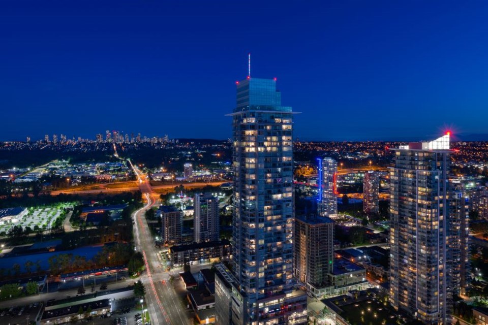
There’s still time to have your say on Burnaby’s new Official Community Plan, a document that will lay out land uses across the city for the next 25 years and beyond.
The OCP is a city’s most important community planning document, mapping out what kind of neighbourhoods (like residential, park, industrial, institutional or agricultural) can be built where.
How do I read Burnaby’s OCP map?
A main focus of the city’s ongoing community engagement is its kaleidoscopic land-use designation map, a rainbow of 16 colours marking every Burnaby parcel.
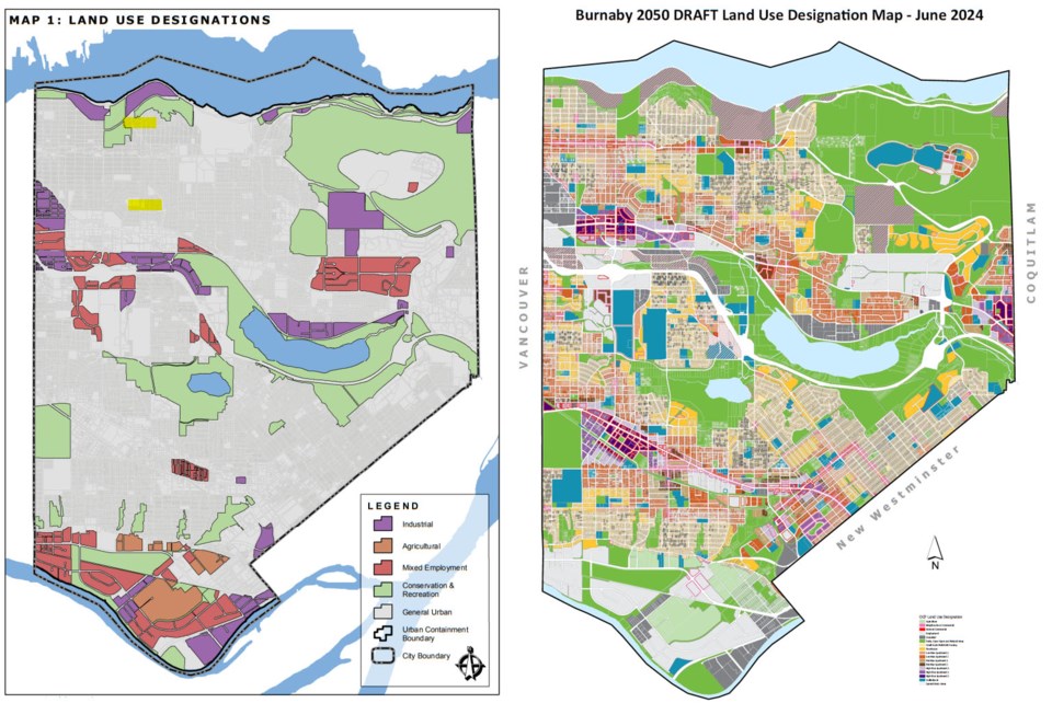
Burnaby is changing up how it structures its OCP, according to Johannes Schumann, director of community planning, moving from the current policy-based document to a “parcel-based OCP,” in which every property can have its own land-use designation.
The draft map allows residents to comment more broadly on land use across the whole city, according to Schumann.
“What do you want your neighbourhood to be like, rather than what do you want the land uses to be? That’s the fundamental change,” he said.
Schumann said one of the core concepts in the proposed OCP is to bring commercial uses into smaller nodes throughout the city, bringing back the corner stores of the 1930s that were lost as strip commercial became more prevalent after the ’50s.
“We want to bring that back … to really create neighbourhood identities,” he said.
To do that, Burnaby has proposed a new technique called “land-use overlays,” which staff say will be able to more easily mix land uses on a single site – for example, allowing commercial uses on a residentially designated property.
Schumann said overlays are commonly used in Ontario and the States and give more flexibility to zoning by reducing the need to put mixed-use developments through a complex and rigid “comprehensive development” rezoning process.
The overlay allows for a “whole mix,” Schumman said, adding the city is specifically looking at uses to serve the day-to-day needs of residents in a neighbourhood, allowing corner stores, cafés, urban agriculture, health clinics, hairdressers and more to be built in multiplex, townhome and tower neighbourhoods.
(On the draft map, pink outlines around a parcel indicate a “neighbourhood commercial” overlay; many of those mixed-uses are focused on corner lots around the city.)
Child care is planned to be applied in almost all zoning districts, with the exception of industrial.
“You don’t have to go through an onerous process to have child care, as long as you meet Fraser Health guidelines,” Schumann said.
The plan also responds to the increased population with a prioritized expansion of parks and schools based on public feedback.
The OCP is currently in the drafting stage. Staff will take public feedback and make adjustments as needed to the land-use map and return to council with the revisions.
Council is expected to vote on the new OCP next year.
How do I give input on the OCP?
There are two open houses left to attend:
- Thursday, Sept. 26 from 4 to 7 p.m. at Tommy Douglas Library (7311 Kingsway)
- Saturday, Sept. 28 from 11 a.m. to 3 p.m. at Nikkei Cultural Centre (6688 Southoaks Cres.)
You can also share feedback on the online survey or on the interactive map until Sunday, Oct. 6.
Staff welcome direct feedback and questions by email at [email protected].


