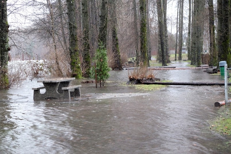
Burnaby is warning against potential flooding along the Fraser River, and expects river levels to rise this weekend.
The River Forecast Centre issued a high streamflow advisory for the river this week due to an increase in snow melt.
River levels are expected to continue to rise, and “create surging and faster flowing water” this week, according to the city’s website.
City manager Lambert Chu said the river’s levels are higher than normal, and the city has already activated their flood protocols for the first time since 2012.
Burnaby’s southern boundary borders the North Arm of the Fraser River, and around 800 hectares of land in that area is floodplain, including Big Bend. And although there are shoreline dikes, pump stations and flood boxes, the water could still overtake these barriers.
The city’s flood response plan includes installing sandbags, and other temporary dikes and barriers.


